The production layer for ecology work.
Maps, satellite, hydrology, habitats, collaboration and revenue modelling, on one platform.
Tools
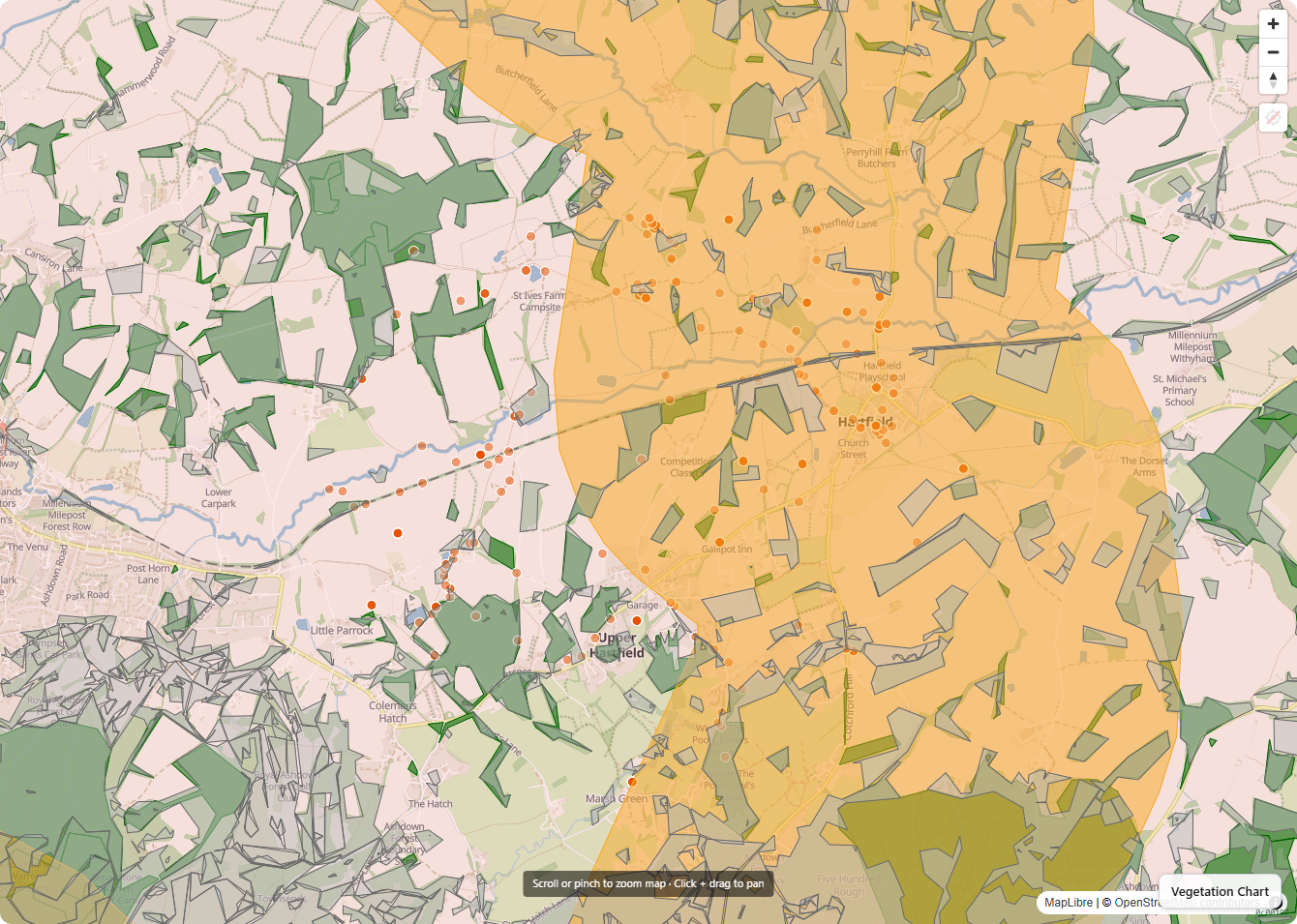
Mapping
Multi-scale maps from parcel to catchment.
Satellite data
Landsat back to 1984. Sentinel-2 and Sentinel-1.
Flooding and wetlands
Flow routing, 2D flood modelling, NFM design.
Species and habitats
UKHab, Priority Habitat, catchment connectivity.
Revenue modelling
BNG, Nutrient Neutrality, carbon, SFI, CS, EWCO and more.
Communities and collaboration
Community and collaboration at catchment scale.
Users
Cluster
Farm clusters and catchment partnerships
Consultant
Independent ecologists and land agents
Conservation Organisation
Rivers trusts, wildlife trusts, restoration NGOs
Estate
Multi-holding estates and family offices
Farmer
Working farms and family land managers
Government
Local authorities and national agencies
Engineering
Data governance
Managed in line with all relevant EU and UK regulations.
Data security
Locked from other tenants; permission-controlled within.
Data resilience
Robust encrypted backups, on-site and off-site.
Easy access to your data
Download what you have, any time, in any format.
Proper engineering
No vibe or vaporware. Built to international best practice.
Data sovereignty
All data stored in the EU. Protected from the US Cloud Act.